Last month, I found myself in Troodos square at the mountainous part of Cyprus. It was not my first time there (actually I usually go twice a year), but that time was different. While walking in the small park there, I noticed a sign to the Atalanti Nature Trail, which reminded me that the starting point of the Kalidonia (or Calidonia) Nature Trail that I wanted to go to last year was nearby. So, that was the spark of a spontaneous decision.
Disclosure: Please note that this post contains affiliate links. This means that if you click on a link marked with [AD] and proceed to make a purchase, I may earn a small commission at no extra cost to you.
Some background knowledge
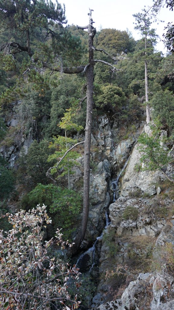
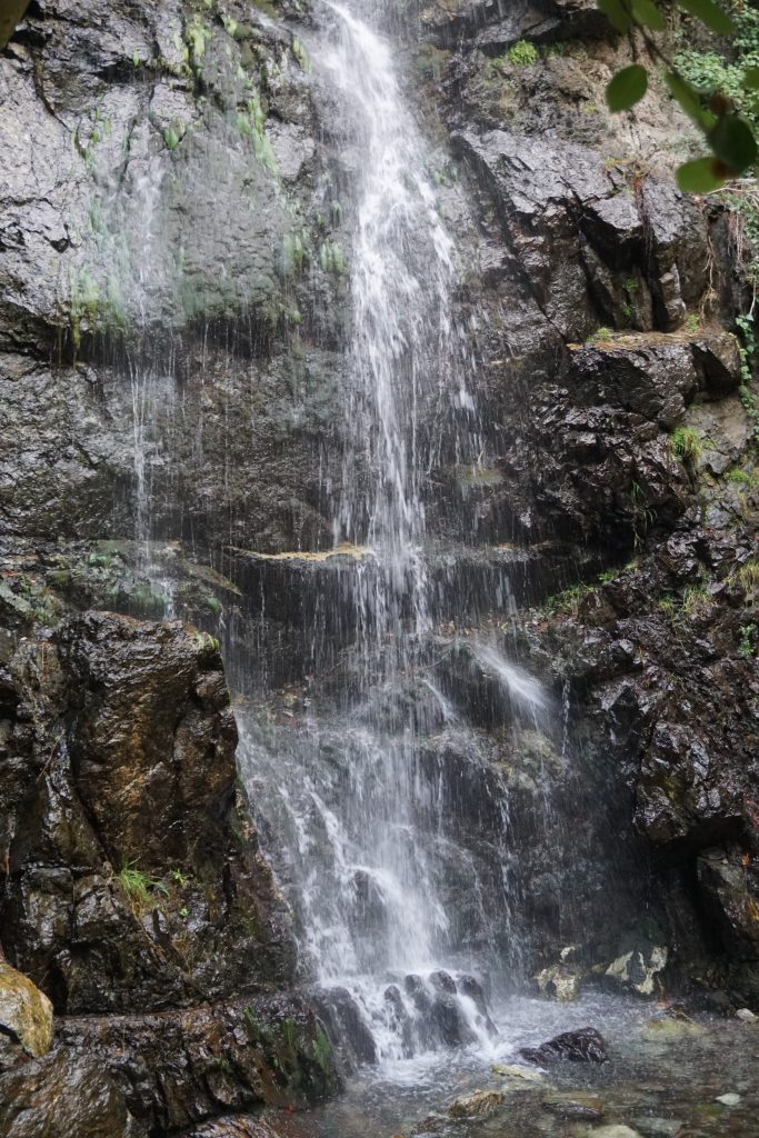
The Kalidonia Waterfall at the height of 12m, is one of the highest waterfalls in Cyprus. The name originates from when the British settled on the island, in 1878. When Scottish people found the waterfall, they gave it the roman name of their home place (Scotland) – Caledonia.
Kalidonia Nature Trail
The Cypriot Tourism Organisation has many sign-posted natural trails in Cyprus, and the Kalidonia Trail is one of them. It is a linear trail of 3km that starts from a place on the old road between Troodos and Platres and ends at Psilo Dentro in (Pano/Upper) Platres (you can do it the other way if you want, but the signs will show the opposite direction).
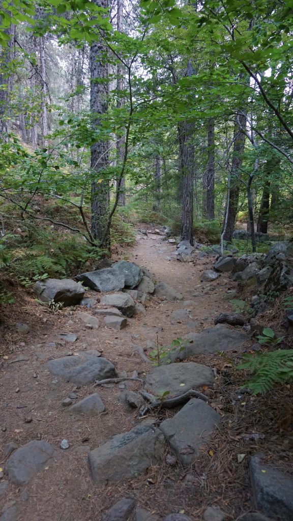
Since it is a linear path, 6km are needed to go and come back and hence about 3 hours in total. The Kalidonia Waterfall is at the 2/3 of the distance, that’s 2km from the starting point (or 1km if you walk in the other way) and the complete trail is a descending route of about 350m, which means that you will need to ascend it at the end. In general, the path is considered difficult to follow, especially its ascending part and because the surface can be slippery. For me, a beginner hiker, visiting a late afternoon in September, it was alright.
Impressions
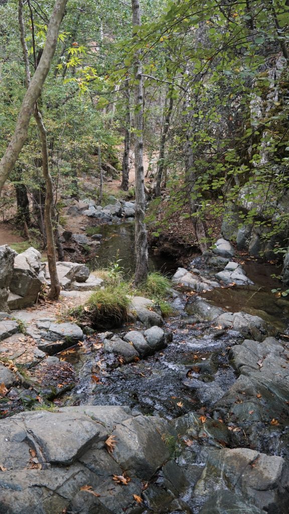
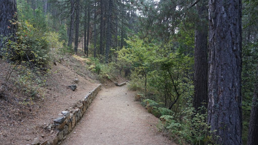
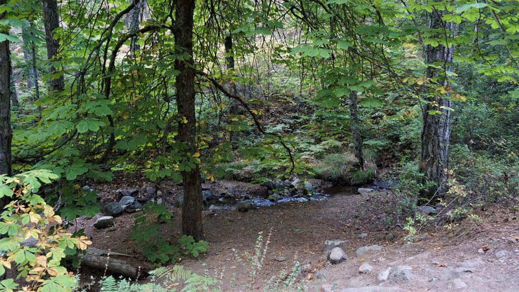
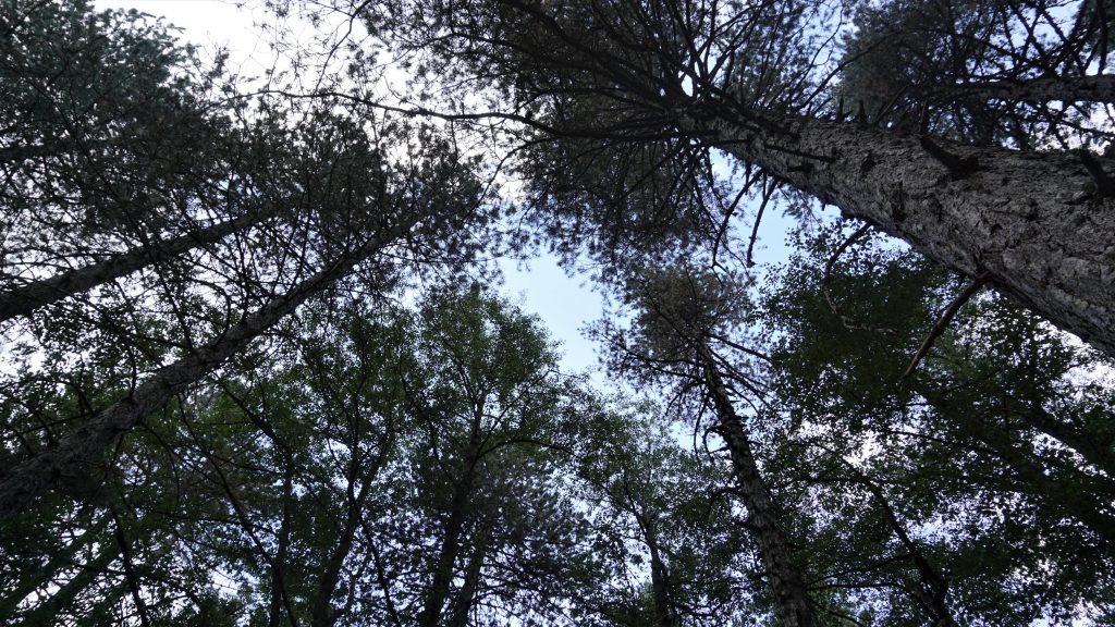
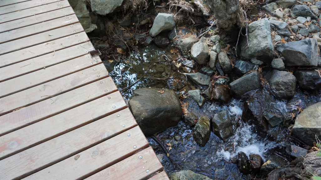
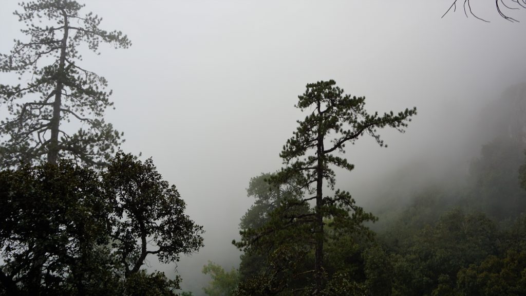
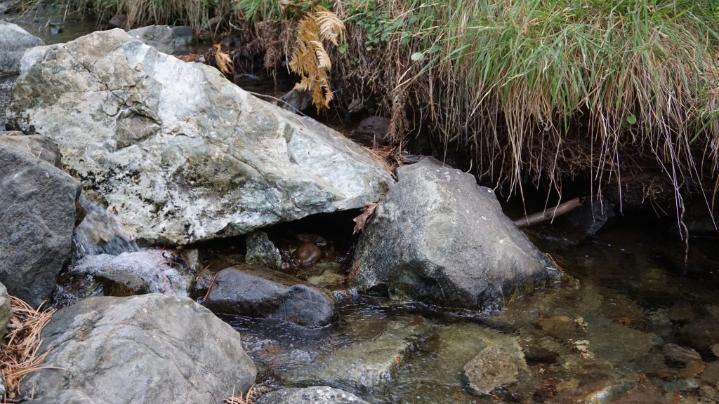
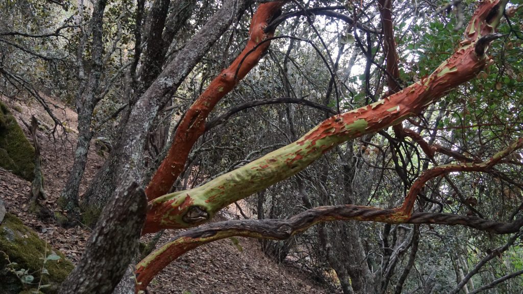
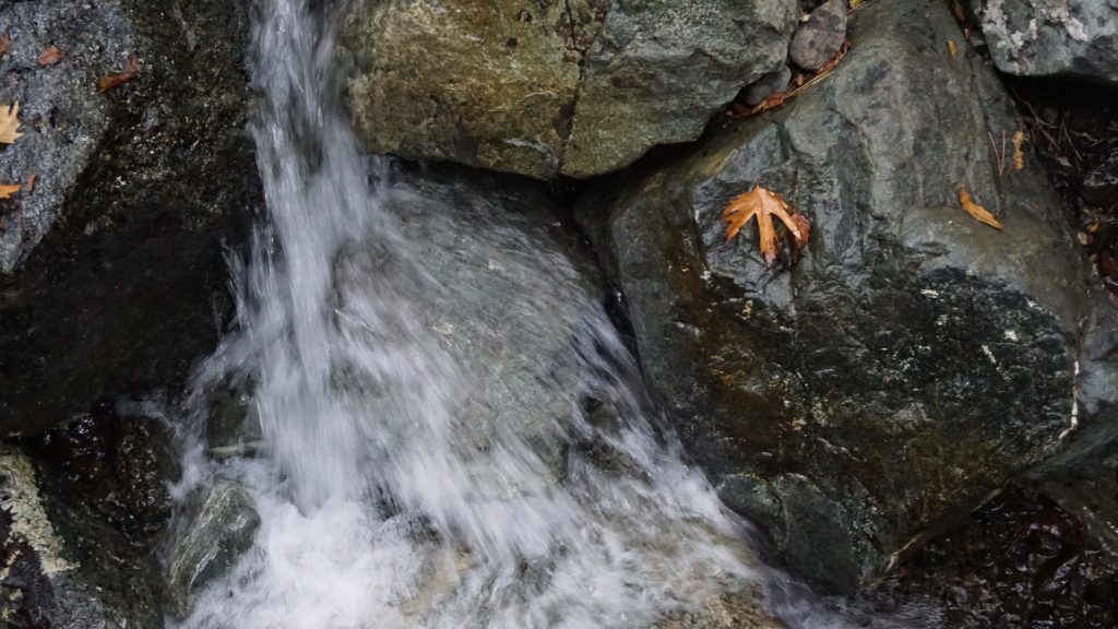
The thing that impressed me the most was the fantastic natural beauty of the place. I didn’t expect it to be so good. It was terrific walking all the time along to the Cold River (Krios Potamos). I wanted to photograph everything, and for this reason, it took me more time to descend than to ascend. The only thing that I wished I had done earlier was to plan the whole excursion so that I had more time there. Due to this, I didn’t manage to finish the trail. I continued my walk until I found the Kalidonia Waterfall and then I went back because I was afraid that I wouldn’t have time to return before the sunset. The whole walk took me almost 2 hours, 1 hour to reach the Falls and then 45-50 minutes to go back.
Here I share with you some of the photos that I took!
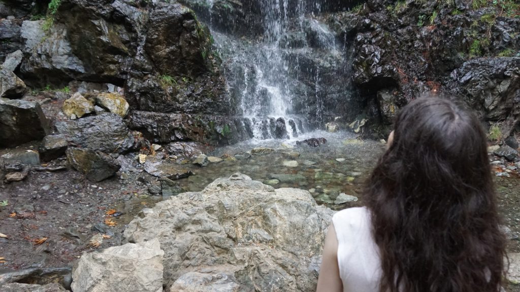
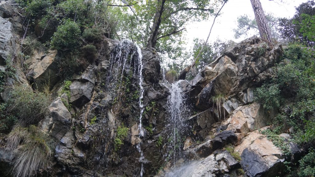
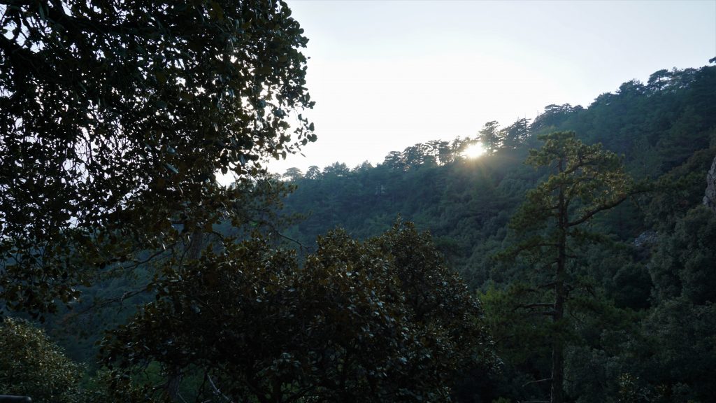
For more information about Cyprus’ Natural Trails click here.
Sources:
- Kalidonia (Linear) – Lemesos (Limassol) District, Troodos Forest Nature Trail
- Kalidonia Nature Trail and Waterfall
- The Ancient Names of Scotland
- Kalidonia Waterfall (Greek)
All photos were taken using the camera Sony ILCE-5100 [AD] and the 16-50mm [AD] or 55-210mm [AD] lense unless otherwise specified.
P.S. This is a new section on the blog: Photography. More photos than text! “A photo is worth a thousand words”, isn’t that what they say? Let me know in the comments how you found that one. Did it have too much text, too many images, was it just right? Also, don’t forget to share it! 🙂
Did you like this post? Save it for later!
